Almost every first-time visitor to Korea has the same moment of panic: you land, open Google Maps to find your hotel, tap “Directions” — and it just doesn’t work. Your blue dot shows up fine, but walking routes are broken, transit is bare-bones, and the driving button does nothing. It feels like the app is malfunctioning. It isn’t — this is by design, and it catches almost everyone on day one. Here’s why, and exactly how to get around Korea like a local using the two apps everyone here actually uses: Naver Map and KakaoMap.
Why Google Maps still doesn’t work (and what’s changing in 2026)
Korea restricts exporting its detailed map data to servers outside the country — a national-security rule dating back to the Korean War armistice. Because Google processes its map data on global servers abroad, it can’t use the high-precision Korean map data that local apps rely on. The result is no turn-by-turn walking or driving navigation, and patchy public-transit info.
There is news, though. In February 2026, Korea conditionally approved Google’s request to export map data for the first time in nearly 20 years, with conditions like processing the data on domestic servers and blurring military sites. Full Google Maps navigation is expected sometime in the second half of 2026 — but until it actually rolls out, you still need a local app. So for now, download one before you fly. (For the full background, see our piece on whether Google Maps works in Korea.)
Naver Map or KakaoMap? Use both, but start with Naver
Both apps are free, both leave Google Maps in the dust for navigation here, and both work without a Korean phone number. Their strengths differ:
- Naver Map is the better main app for foreigners. It has the most complete English interface, the richest place and restaurant listings, turn-by-turn walking directions with subway exit numbers, and even an “avoid stairs” option — a lifesaver when you’re dragging a suitcase through Seoul’s stations.
- KakaoMap is the best backup. It’s strongest at real-time transit: it shows your bus or train moving on the map live, and even tells you which subway car to board for the fastest transfer (like “3-1”). It’s also linked to Kakao T, Korea’s main taxi app. The trade-off is weaker English search.
The practical answer: install both. Make Naver Map your everyday map, and open KakaoMap when you want live transit or a taxi.
Setting Naver Map to English
Do this first. In the Naver Map app, tap the menu (☰), go to Settings, then Language, and choose English. The app restarts in English in under a minute — menus, directions, and navigation all switch over. You don’t need an account; if a sign-in screen appears, just tap “Skip” or use guest mode. All the core navigation works without logging in.
Searching for places
Here’s the habit that saves foreigners the most trouble. For big landmarks and global chains — “Gyeongbokgung Palace,” “Starbucks,” “Incheon Airport” — searching in English works fine.
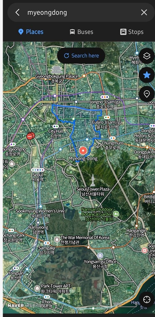 Naver Map English search resolving a Seoul neighborhood. Source: Naver Map
But for a small restaurant or a specific spot a friend recommended, English can come up empty. The fix: search by the Korean name. Find the place on a Google search or the venue’s website, copy its Korean name (for example 광화문 for Gwanghwamun), and paste that into Naver Map’s search bar. Copy the name, not the address — that’s the trick locals use, and it resolves almost any place instantly.
Getting around: subway, bus, and walking
For public transport, enter your start and destination and Naver Map returns subway and bus routes with real-time arrivals, transfer points, exit numbers, and last-train times. The English station names and exit numbers are what make it so usable — you’ll know to leave by “Exit 5” before you even arrive.
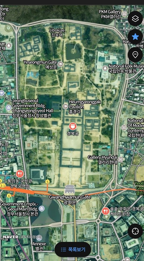 Naver Map’s subway route with exit numbers called out. Source: Naver Map
For walking, Naver Map gives true turn-by-turn directions, including which subway exit to take and which way to head out of it. Switch on “avoid stairs” if you’ve got luggage or a stroller. For taxis, open KakaoMap’s linked Kakao T — it’s how Koreans hail a ride, and it accepts most foreign cards.
A few pro tips
- Watch the bus move. KakaoMap shows your bus as a live moving icon, so you can time your walk to the stop instead of guessing.
- Board the right car. KakaoMap tells you which car to ride for the fastest transfer or the nearest exit — a small thing that saves real time in big stations.
- Trust KakaoMap ratings. A place rated 4.0 or higher on KakaoMap is usually a genuine local favorite; its reviews are considered less ad-driven than Naver’s.
- Read Korean reviews instantly. Naver Map has Papago translation built in, so you can read local reviews in your own language.
- Download offline areas. You can save map areas in advance for basic navigation — handy if you’re on a limited eSIM or pocket Wi-Fi.
Once you’ve got Naver Map in English and KakaoMap on standby, Korea stops feeling like a maze. You’ll handle subway transfers, find hidden restaurants, and hail taxis exactly like the locals around you — no Korean required.